Our campsite on Kekekabic Lake
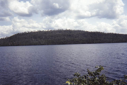
Kekekabic Lake was where we really could have used a map with all of the campsite locations listed. The scouts we met on the second day had one, and some other people we talked to had one. Apparently there are a ton of campsites on Kekekabic Lake. However, we just couldn't seem to find any! We ended up paddling from one side to the other at least four times before we finally spotted a fire grate up on a hill. So, we snagged that site. Actually, I don't think the little patch of land we were on was owned by the Boundary Waters Canoe Area Wilderness. I think it was owned by the State of Minnesota. But, no one came by to kick us off, so we just stayed! The view in this picture is across the lake looking south-southeast. If you look closely, you can see a lot of the trees over there were knocked down by the windstorm. Kekekabic Lake is a pretty high profile lake, so it probably got mauled during the high winds.
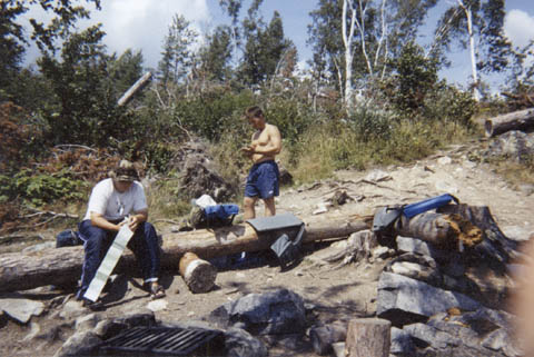 This is what our campsite looked like for this night. Notice the sun was actually out! Of course, there were pretty good southwest winds, so the lake was kinda bumpy. There are a few trees standing in the background, but I'm sure this place was absolutely amazing before the storm. Actually, it's still pretty cool. It's just shows the power that storms can have. Tracy's looking at the map, while I think Shawn's putting on some suntan lotion. Notice the flotation devices positioned on the logs (made 'em comfier). Our tent was up the hill to the right, while there was a cool cliff area off to the left.
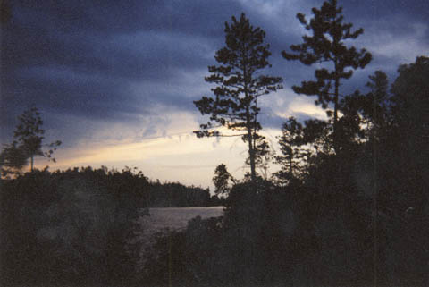 After another dinner of Ramen and spaghetti with Mrs. Dash, we relaxed around the campfire. This sunset picture is looking due west. Some cool wave clouds were moving in from the southwest.
 Well, only someone interested in meteorology would have taken this picture. I just like the organization of the clouds, and how they were pretty much linear. Of course, by morning the clouds were cumulonimbus and firing out lightning everywhere. Several bolts struck within a 1/2 mile of us.
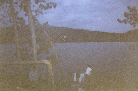 I wanted to have an example of us hanging up the food bag to protect from bears. It's not a very clear picture, but squint and you'll see Tracy pulling the food bag away from the tree. After we had it sufficiently far away, we tied off the other end on some roots of a blown down tree. Again you can see the clothesline in the background.
Just click the 'Back' button on your browser to return to the map you were looking at.